Richard and a friend from the Arizona Trail Association

Here is the passage map: https://aztrail.org/wp-content/uploads/2018/01/32_EldenMountain.pdf

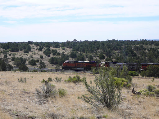
The first section of the trail, after the culvert under U.S. 40, parallels the railroad track for about a mile and a half. The land is flatter and includes some volcanic soil. After crossing U.S. 89 beyond the Rio de Flag footbridge, the trail loops around Mount Elden before climbing to the Shultz Pass trailhead at the end of the passage. The weather, as the pictures show, was temperate and sunny.


No comments:
Post a Comment